Advertisement
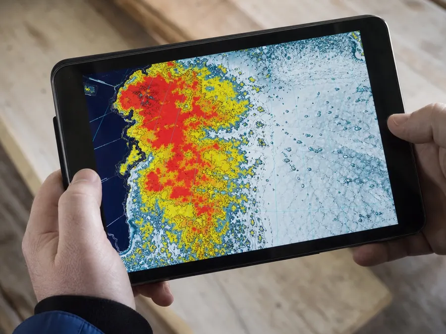
To verify ground-level reports of icebergs, professional ice analysts rely on advanced remote sensing technologies. They utilize a combination of Synthetic Aperture Radar (SAR), visible, and infrared remotely sensed imagery. These imaging tools are used to locate and track icebergs during routine monitoring of sea ice conditions. This combination of remote sensing data helps ensure accurate tracking across monitored regions.
Advertisement
View Full Gallery on Single Page






(must watch short ad)
More photo galleries
15 Checks Before Calling a U.S. City ‘Safe’
15 photos
States with the Most Tornadoes
15 photos
15 Country Cases That Show Why ‘Socialist Countries’ Is Not a Simple Category
15 photos
15 Questions to Ask Before Trusting a ‘Most Dangerous Dog Breeds’ List
15 photos
The 15 Most Populous U.S. States in the 2025 Census Estimates
15 photos
The 15 Largest Economies by 2024 GDP
15 photos
12 U.S. City Crime Data Portals—and How to Read Them
12 photos
15 U.S. Colleges That Show Higher Education's Diversity
15 photos
15 States With Large Estimated LGBT Adult Populations—and How to Read the Data
15 photos
15 Familiar Stories That Did Not Happen the Way We Repeat Them
15 photos
15 States With the Highest Reported Violent-Crime Rates in 2024
15 photos
15 Abraham Lincoln Quotes With Their Historical Context
15 photos
15 Endangered Species and the Conservation Work Around Them
15 photos
15 U.S. Retirement Destinations to Compare
15 photos
Fastest Animals in the World, Ranked With Speed Context
15 photos
15 Memorable Places to Travel Around the World
15 photos